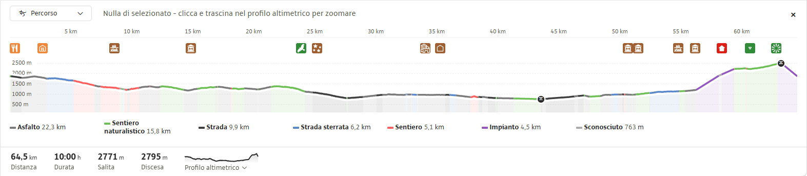
A wonderful, scenic historical trail, equipped with fixed ropes and wooden steps, which follows the old Austrian paths from the First World War. You pass through tunnels, up staircases and along wooden walkways, and past machine-gun emplacements: a veritable open-air historical museum.
There are also remarkable scenic spots offering 360° views of all the Dolomite massifs in the Val di Fassa: the Latemar, the Catinaccio, the Sasso Piatto, the Sella, the Marmolada and the Monzoni. From the San Pellegrino Pass, you ascend to higher ground via the Costabella’s chairlift. Once you reach the top station of the chairlift, walk towards the “Passo delle Selle” mountain hut (Bergvagabunden Hütte), about 1 hour and 15 minutes away.
Continue along path no. 637, which climbs steeply northwards straight away to the summit of “Piccolo Lastei” (2,697 m). After a saddle, you pass through a low, stepped tunnel with several ups and downs, navigating the numerous war ruins and caves carved into the rock, until you reach “Gran Lastei” (2,716 m) and then, after scaling a small rock face with the aid of two rungs and metal cables, the “Cima della Campagnaccia” (2,737 m).
After a short descent, a wooden staircase and a very low tunnel lead to a saddle (the final route back to the San Pellegrino Pass). You cross over exposed slabs (the most challenging section of the via ferrata) and, on a gentle descent, reach the foot of “Sass De Costabella” (the Italian observatory).
You climb up an easy, well-equipped gully and, via a wooden walkway over a sheer drop, enter the observatory. For the return journey, you descend to the “Ciadin” saddle (2,664 m), from where you return to the top station of the Costabella’s chairlift via path no. 637.
From here, you can descend either by chairlift or via the path and meadows, eventually arriving back at the San Pellegrino Pass car park.
Most of the route is a standard high-altitude path; only on the most exposed or tricky sections does the metal cable allow you to proceed safely.
Antelao, Pelmo, Civetta, Agner, Col Margherita, Focobon, Mulaz, Pale di San Martino, Latemar, Cima Uomo, Cime d’Auta
Suitable for hikers with moderate experience, including families with children aged 11 and over (*not suitable for pushchairs)
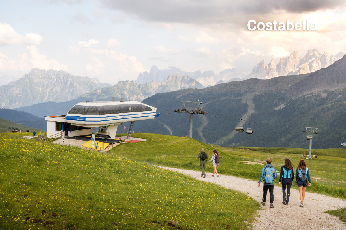
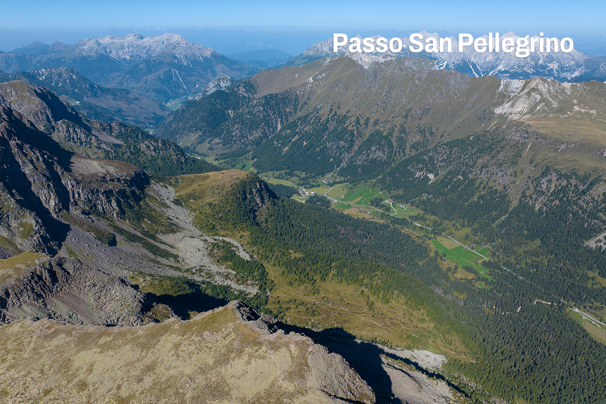
Along the route, you’ll find several mountain huts and alpine pastures where you can stop for a short break or enjoy some excellent traditional local dishes:
The San Pellegrino Pass can be reached from Moena (Fassa Valley) or from Falcade (BL)
Lift, dirt road, via ferrata
The tour is accessible from early June to the end of September

Impianti Falcade Col Margherita Spa
Sèn Pelegrin, 32
38035 Moena (TN)
Sede secondaria
Piazzale Molino, 3
32020 Falcade (BL)
tel. +39 0437 507044
info@skiareasanpellegrino.it
C.F. 00230980229 e P.IVA 00756520250
REA TN – 212288, capitale sociale 4.774.083,60 Euro interamente versato
UNI EN ISO 14001:2015
UNI EN ISO 45001:2023
Funivia Col Margherita Spa
Sèn Pelegrin, 32
38035 Moena (TN)
tel. +39 0437 507044
info@skiareasanpellegrino.it
P.IVA 00442740221
REA TN – 95579, capitale sociale 4.464867,42 Euro interamente versato
UNI EN ISO 45001:2023
Catinaccio Buffaure Spa Società Benefit
Strada de Col De Me, 10
38035 San Giovanni di Fassa – Sen Jen (TN)
tel. +39 0462 763242
info@catinacciobuffaure.it
P.IVA 02816590224
REA TN – 252046 – capitale sociale 29.240.471,70 Euro interamente versato
UNI EN ISO 14001:2015
UNI EN ISO 45001:2023
Consortile Passo San Pellegrino Falcade Spa
Sèn Pelegrin, 32
38035 Moena (TN)
info@skiareasanpellegrino.it
P. IVA 02029420227
REG.IMP. TN – 195379 – capitale sociale 550.000,00 Euro interamente versato
Consortile Passo San Pellegrino – Falcade S.P.A.
Sen Pelegrin, 32
E-mail: info@skiareasanpellegrino.it
Social: Facebook | Instagram


