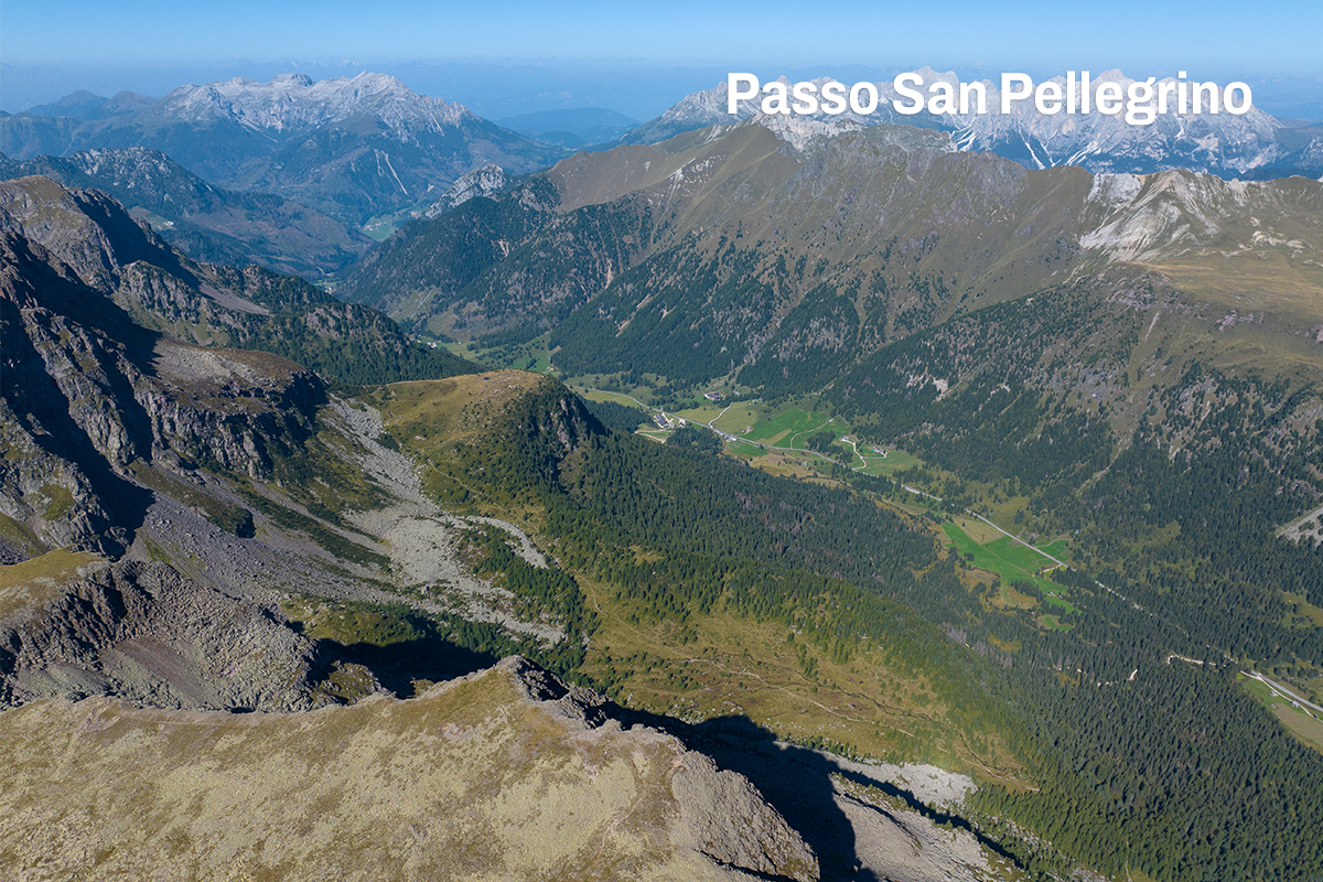
During the First World War, “Cima Bocche” was a key point in the Austrian defences of the San Pellegrino Valley, and the battlefield has been well preserved: the caves, trenches and barracks still retain their original appearance today.
Follow signposted path no. 628 from the Pass, climbing steadily westwards beneath the slopes of Col Margherita and “Cima Juribrutto”.
Once you reach an altitude of 2.267 metres (the junction for “Col de le Palùe”), turn left and climb up to “Forcella di Juribrutto”. From here, follow path no. 626 and descend slightly towards a stony basin.
Keeping to the right, climb up along the scree slope that cuts across the eastern flank of the rocky valley.
After about 40 minutes, you reach the long south-eastern ridge of “Bocche”, next to a tall cairn, at an altitude of 2.550 m. The ascent continues northwards along path no. 626 and you soon reach “Cima Bocche” (2.745 m).
For the return journey, follow the same route.
Cima Uomo, Cime d’Auta, Antelao, Pelmo, Civetta, Agner, Col Margherita, Focobon, Mulaz, Pale di San Martino, Col Margherita, Latemar, Monzoni, Creste di Costabella
Suitable for hikers with moderate experience, including families with children aged 11 and over (*not suitable for pushchairs)
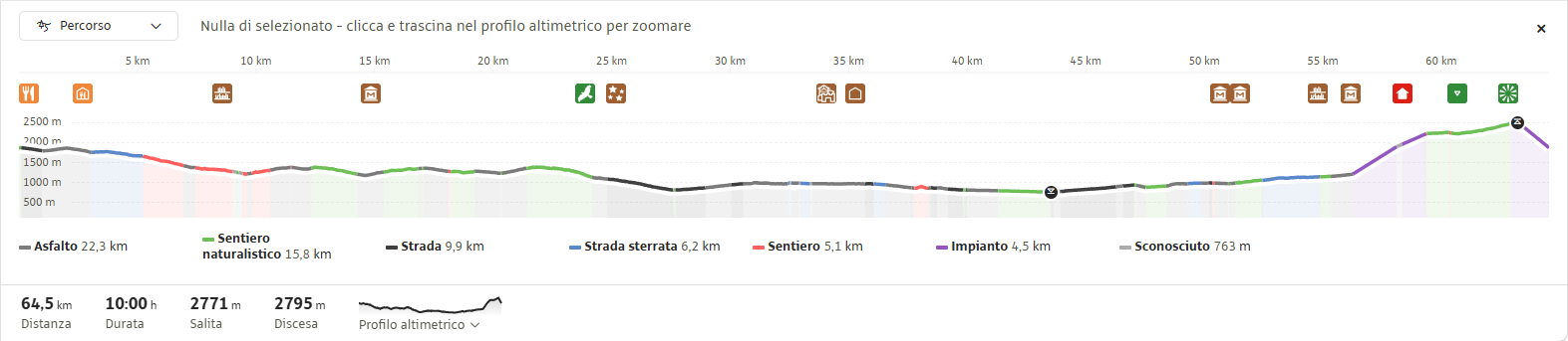
Along the route, you’ll find several mountain huts and alpine pastures where you can stop for a short break or enjoy some excellent traditional local dishes:
The San Pellegrino Pass can be reached from Moena (Fassa Valley) or from Falcade (BL)
Lift, dirt roads
The tour is accessible from early June to the end of September

Impianti Falcade Col Margherita Spa
Sèn Pelegrin, 32
38035 Moena (TN)
Sede secondaria
Piazzale Molino, 3
32020 Falcade (BL)
tel. +39 0437 507044
info@skiareasanpellegrino.it
C.F. 00230980229 e P.IVA 00756520250
REA TN – 212288, capitale sociale 4.774.083,60 Euro interamente versato
UNI EN ISO 14001:2015
UNI EN ISO 45001:2023
Funivia Col Margherita Spa
Sèn Pelegrin, 32
38035 Moena (TN)
tel. +39 0437 507044
info@skiareasanpellegrino.it
P.IVA 00442740221
REA TN – 95579, capitale sociale 4.464867,42 Euro interamente versato
UNI EN ISO 45001:2023
Catinaccio Buffaure Spa Società Benefit
Strada de Col De Me, 10
38035 San Giovanni di Fassa – Sen Jen (TN)
tel. +39 0462 763242
info@catinacciobuffaure.it
P.IVA 02816590224
REA TN – 252046 – capitale sociale 29.240.471,70 Euro interamente versato
UNI EN ISO 14001:2015
UNI EN ISO 45001:2023
Consortile Passo San Pellegrino Falcade Spa
Sèn Pelegrin, 32
38035 Moena (TN)
info@skiareasanpellegrino.it
P. IVA 02029420227
REG.IMP. TN – 195379 – capitale sociale 550.000,00 Euro interamente versato
Consortile Passo San Pellegrino – Falcade S.P.A.
Sen Pelegrin, 32
E-mail: info@skiareasanpellegrino.it
Social: Facebook | Instagram


