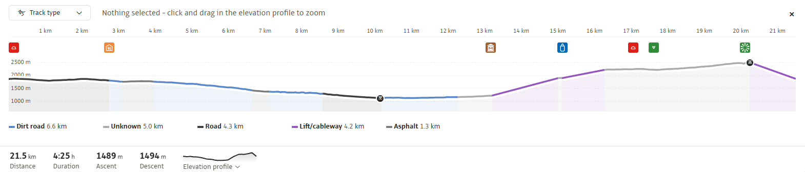
The Falcade – San Pellegrino Bike Tour is one of the longest and most scenic loop routes in our ski area. This itinerary connects San Pellegrino Pass to Falcade, winding through forests, ancient trails, and picturesque mountain villages along a path shared with hikers.
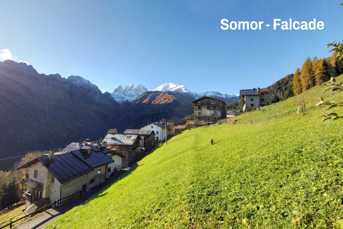
From San Pellegrino Pass, you’ll first follow a short stretch of the state highway to the junction for “Fuciade” and “Valfredda”, where you’ll take the paved road leading to the Flora Alpina mountain hut. From here, the route enters the woods and follows the historic CAI 694 mule track toward “Campo Podin”, reaching the picturesque village of “Somor”, above Falcade, after a few kilometers. The trail then continues toward the hamlet of “Le Coste” and crosses the southern part of the village, skirting the “Falcade Plain” along a pleasant stretch surrounded by greenery.
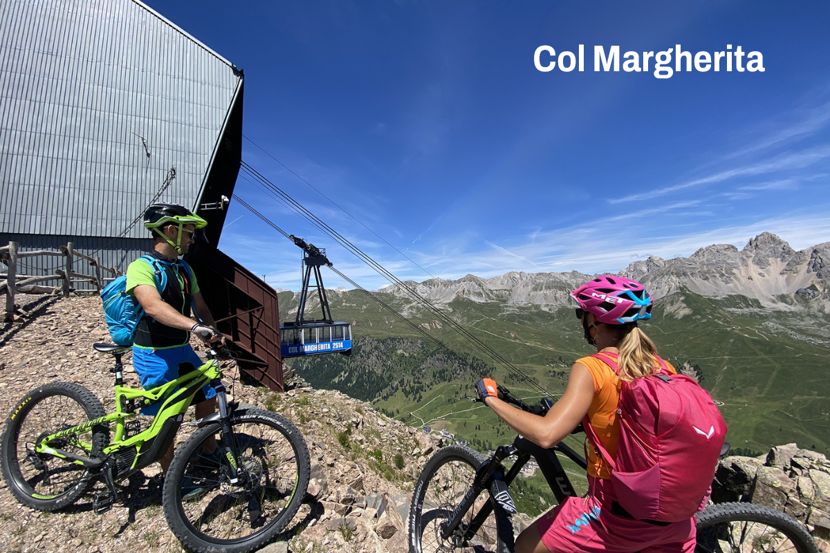
Once you reach Molino, the ski lifts allow you to return to higher elevations. From the top station of the chairlift, the final ascent to Col Margherita begins—a stretch of about 4 kilometers with a steady gradient that offers spectacular views of the Dolomites. The return trip is a comfortable ride on the cable car.
The trail is easily accessible thanks to the lifts at San Pellegrino Pass and Falcade. To use them, you must purchase a ticket or the Dolomiti Supersummer pass, valid in numerous ski areas throughout the Dolomites.
First-time visitors to the valley can rely on local bike guides to ensure a safe experience and get the most out of the route.
The route follows mixed-use trails that are also frequented by hikers. It is therefore recommended to maintain a moderate speed and always be mindful of other trail users.
Creste di Costabella, Cima Uomo, Cime d’Auta, Civetta, Mulaz, Focobon, Cima Pradazzo, Col Margherita
Suitable for cyclists with minimal experience, especially on the downhill sections
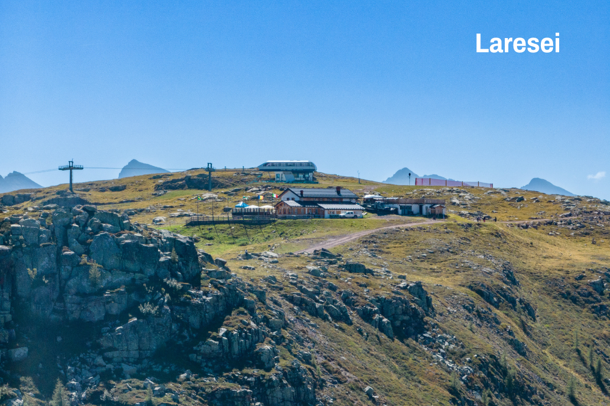
Along the route, you’ll find several mountain huts and alpine pastures where you can stop for a short break or enjoy excellent traditional local dishes:
San Pellegrino Pass can be reached from Moena (Fassa Valley) or from Falcade (BL)
Paved roads, dirt roads, lifts
The tour is accessible from early June to the end of September

Impianti Falcade Col Margherita Spa
Sèn Pelegrin, 32
38035 Moena (TN)
Sede secondaria
Piazzale Molino, 3
32020 Falcade (BL)
tel. +39 0437 507044
info@skiareasanpellegrino.it
C.F. 00230980229 e P.IVA 00756520250
REA TN – 212288, capitale sociale 4.774.083,60 Euro interamente versato
UNI EN ISO 14001:2015
UNI EN ISO 45001:2023
Funivia Col Margherita Spa
Sèn Pelegrin, 32
38035 Moena (TN)
tel. +39 0437 507044
info@skiareasanpellegrino.it
P.IVA 00442740221
REA TN – 95579, capitale sociale 4.464867,42 Euro interamente versato
UNI EN ISO 45001:2023
Catinaccio Buffaure Spa Società Benefit
Strada de Col De Me, 10
38035 San Giovanni di Fassa – Sen Jen (TN)
tel. +39 0462 763242
info@catinacciobuffaure.it
P.IVA 02816590224
REA TN – 252046 – capitale sociale 29.240.471,70 Euro interamente versato
UNI EN ISO 14001:2015
UNI EN ISO 45001:2023
Consortile Passo San Pellegrino Falcade Spa
Sèn Pelegrin, 32
38035 Moena (TN)
info@skiareasanpellegrino.it
P. IVA 02029420227
REG.IMP. TN – 195379 – capitale sociale 550.000,00 Euro interamente versato
Consortile Passo San Pellegrino – Falcade S.P.A.
Sen Pelegrin, 32
E-mail: info@skiareasanpellegrino.it
Social: Facebook | Instagram


