
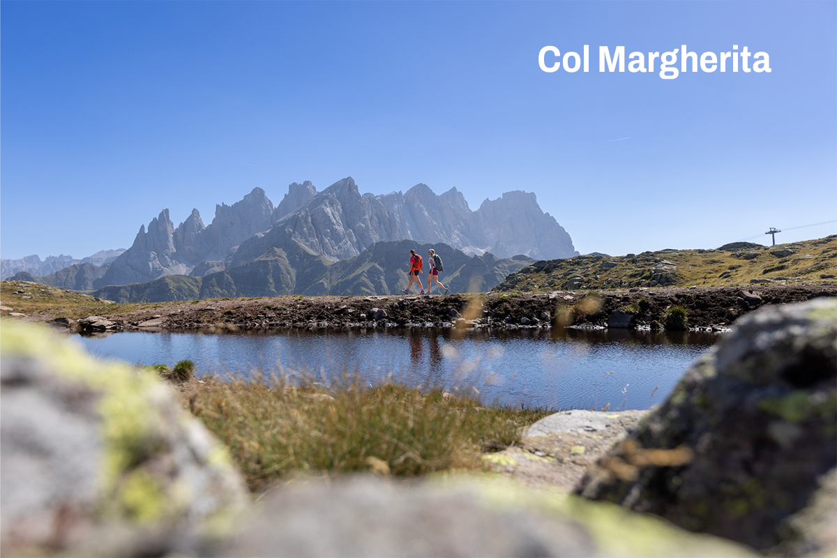
An easy themed circular route on the summit of Col Margherita’s gondola, featuring seven stages dedicated to the history and geology of the Dolomites.
The highlight of the route is the large panoramic viewing platform on the summit.
Col Margherita, Latemar, Lagorai, Pale di San Martino, Mulaz, Focobon, Cima Pradazzo, Civetta, Pelmo, Antelao, Cime d’Auta, Cima Uomo, Creste di Costabella
Suitable for everyone, including families with children aged 4 and over (*not accessible with pushchairs)
Along the route, you’ll find several mountain huts and alpine pastures where you can stop for a short break or enjoy excellent traditional local dishes:
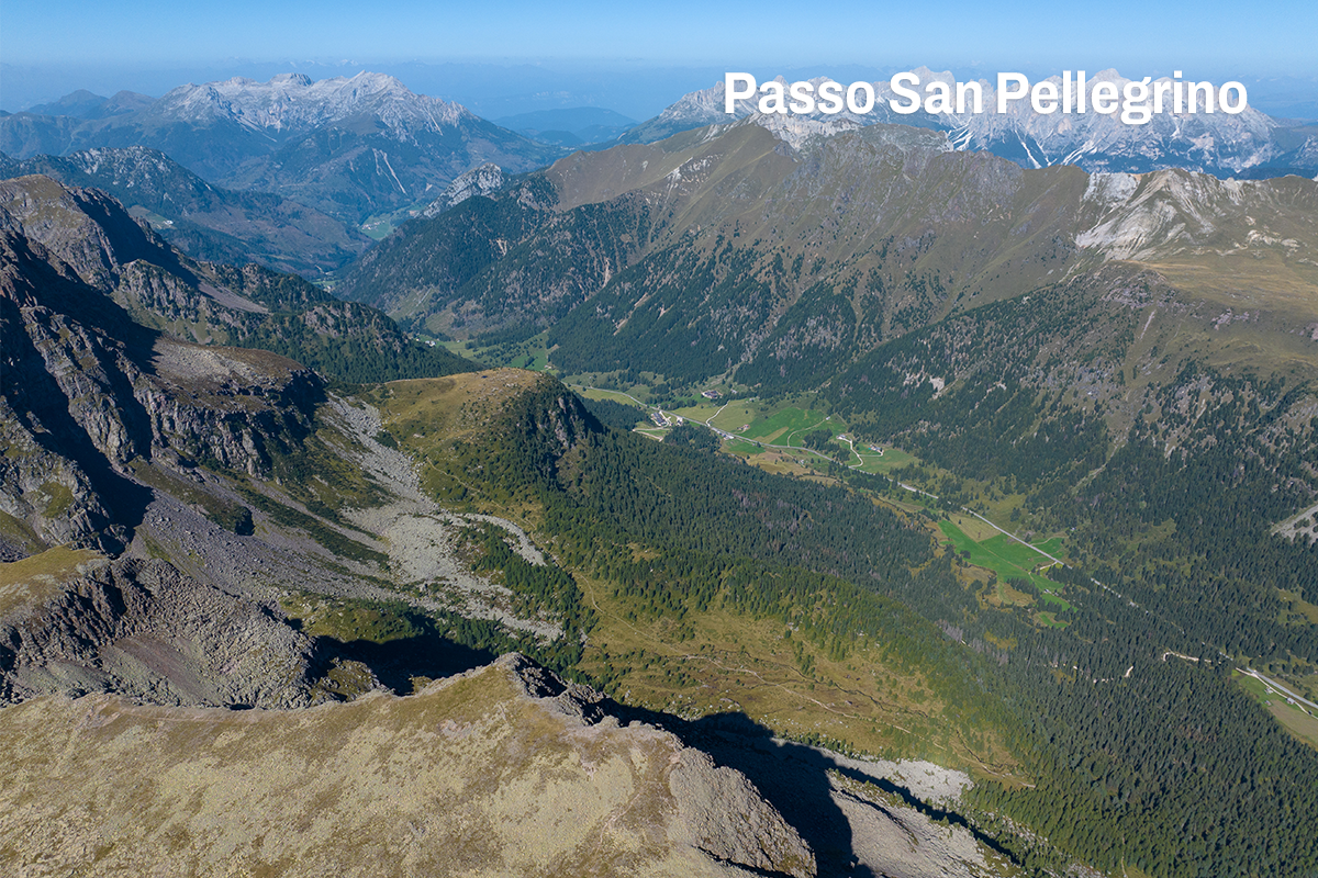
The San Pellegrino Pass can be reached from Moena (Fassa Valley) or from Falcade (BL)
Lift, dirt road
The tour is accessible from early June to the end of September

Impianti Falcade Col Margherita Spa
Sèn Pelegrin, 32
38035 Moena (TN)
Sede secondaria
Piazzale Molino, 3
32020 Falcade (BL)
tel. +39 0437 507044
info@skiareasanpellegrino.it
C.F. 00230980229 e P.IVA 00756520250
REA TN – 212288, capitale sociale 4.774.083,60 Euro interamente versato
UNI EN ISO 14001:2015
UNI EN ISO 45001:2023
Funivia Col Margherita Spa
Sèn Pelegrin, 32
38035 Moena (TN)
tel. +39 0437 507044
info@skiareasanpellegrino.it
P.IVA 00442740221
REA TN – 95579, capitale sociale 4.464867,42 Euro interamente versato
UNI EN ISO 45001:2023
Catinaccio Buffaure Spa Società Benefit
Strada de Col De Me, 10
38035 San Giovanni di Fassa – Sen Jen (TN)
tel. +39 0462 763242
info@catinacciobuffaure.it
P.IVA 02816590224
REA TN – 252046 – capitale sociale 29.240.471,70 Euro interamente versato
UNI EN ISO 14001:2015
UNI EN ISO 45001:2023
Consortile Passo San Pellegrino Falcade Spa
Sèn Pelegrin, 32
38035 Moena (TN)
info@skiareasanpellegrino.it
P. IVA 02029420227
REG.IMP. TN – 195379 – capitale sociale 550.000,00 Euro interamente versato
Consortile Passo San Pellegrino – Falcade S.P.A.
Sen Pelegrin, 32
E-mail: info@skiareasanpellegrino.it
Social: Facebook | Instagram


